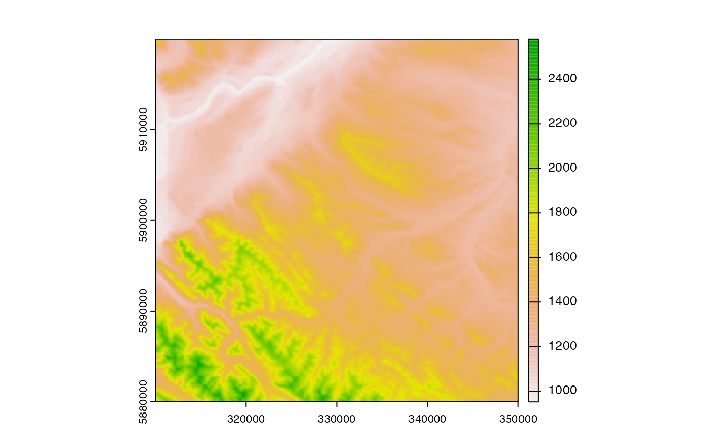
Rsagacmd comes bundled with a small tile of example Digital Elevation Model (DEM) data from the NASA Shuttle Radar Topography Mission Global 1 arc second V003. This data is stored in GeoTIFF format in `inst/extdata`.
read_srtm()Details
The dataset contains the land surface elevation of an area located near Jasper, Alberta, Canada, with the coordinate reference system (CRS) EPSG code of 3402 (NAD83(CSRS) / Alberta 10-TM (Forest)).
To access the data, use the convenience function of `read_srtm()` to load the data as a `terra::SpatRaster` object.